Public layers are layers that are imported form public map overlays on the internet. The steps below show how to plot a public layer from the Google Earth URL for Mid to Late Quaternary Faults in the US.
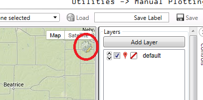
In Manual Plotting, click the small gear icon in the upper right of the map.
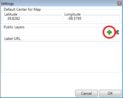
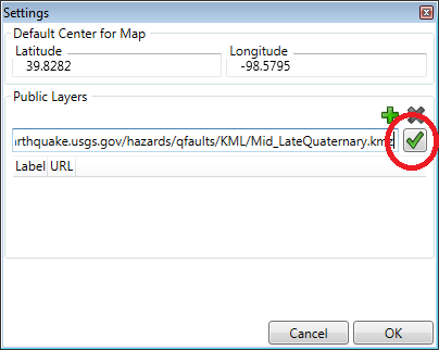
A dialog box appears giving a default map center and a public layer selection. To add a public layer, click the green plus icon.
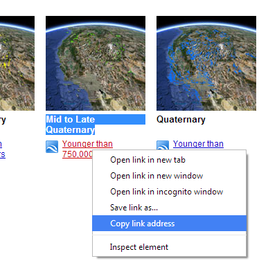
Locate the link address to the KML/KMZ file. Usually this can be done by right clicking the desired map on the internet and copy the link address.
Paste or type the link address into the dialog box. Click the green check mark to add the layer
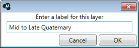
Enter a label name for the layer. Click OK to add the label.
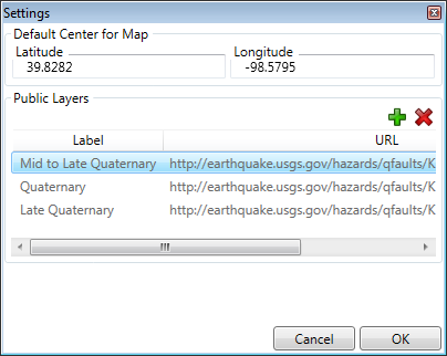
Add more maps as desired. Click OK when finished adding Public Layers
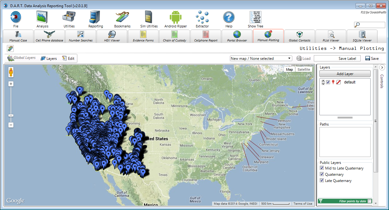
Public layers are listed in the lower right of the map controls.
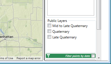
Toggle the view of each layer on and off via the check box to the left of the layer label.
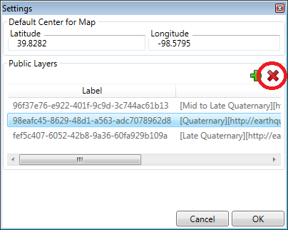
To delete a public layer, click the gear icon and highlight the layer to be deleted. Click the red X icon to delete the layer. Click <OK> to exit the dialog.